


After a mild few days and some flooding in places on Saturday, bitterly cold and strong easterly winds are expected to sweep across Suffolk from Sunday and into next week, with disruption possible.
After a mild few days and some flooding in places on Saturday, bitterly cold and strong easterly winds are expected to sweep across Suffolk from Sunday and into next week, with disruption possible. Snow is expected to arrive during Sunday morning and continue through until well into Monday - with several centimetres of snow in places building up in freezing temperatures.
Biting easterly gales could lead to blizzards and snow drifting in places - as temperatures struggle to get much above freezing by day - and feel sub zero in the winds.
Travelling conditions could become difficult and prove particularly challenging for people heading to vaccinations centres.
Much of next week is looking set to stay very cold with a risk of further snow showers - and as winds ease later in the week, some severe overnight frosts are possible.
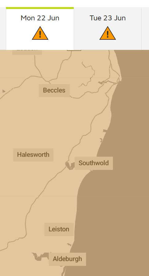
Met Office warnings have been issued through until at least Wednesday. East Suffolk is at risk of seeing 5 to 10cm of snow - and as much as 15cm to 20cm or more in some areas by the end of Monday.
 Big News For Beccles Carnival 2026
 Dutch Yacht Drama Off Suffolk's Coast
 Suffolk to Wales Charity Walks Starts in Lowestoft
 Police Charge Bungay Man for Stalking
 Extreme Heat Warning for East Suffolk
 Countdown to the First Light Festival on Lowestoft Seafront
 Vehicle Seized in Halesworth After Driver Found Without Insurance
 Bungay Community Support's Plea for New Volunteers